


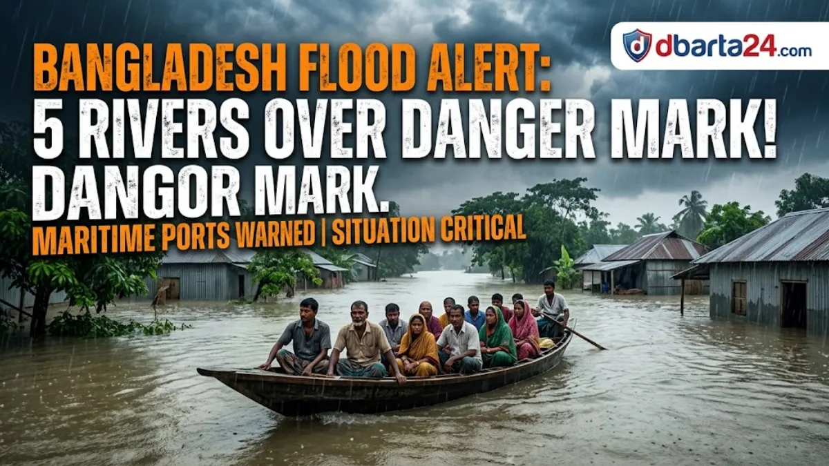
Labonnya Liza – Bangladesh’s overall flood situation has shown marginal signs of improvement, with the number of rivers flowing above the danger mark decreasing from six to five.
However, authorities remain on high alert as upstream rush and ongoing monsoon downpours keep major river basins swollen, prompting meteorological officials to issue cautionary signals for maritime ports.
According to the morning bulletin issued by the Flood Forecasting and Warning Center (FFWC) on Friday, the trajectory of the potential flood situation over the coming days will heavily rely on the intensity and distribution of rainfall across the country and its upstream Indian catchments.
Current River Conditions and Critical Points
Data from 9 FFWC observation stations indicate that five rivers are currently flowing above their respective danger thresholds. The southeastern region remains particularly vulnerable.
In Bandarban, the Sangu River is flowing 95 cm above the danger level at the Bandarban point and 23 cm above at the Dohazari point. Simultaneously, the Matamuhuri River has breached safety margins by 47 cm at the Lama point and 32 cm at Cox’s Bazar’s Chiringa point.
In the northeastern northeastern wing, the Kushiyara River is flowing 18 cm above the danger mark at Sunamganj’s Markuli point and 10 cm above at Sylhet’s Fenchuganj point.
The Manu River is also triggering concerns, flowing 35 cm and 80 cm above the danger line at the Manu Railway Bridge and Moulvibazar points, respectively. Additionally, the Khowai River has crossed the danger mark by 60 cm at the Balla point in Habiganj.
Several other prominent rivers, including the Teesta, Surma, Someswari, and Chhoto Feni, are reportedly flowing close to their warning levels at multiple monitoring stations, threatening to overflow if torrential rains persist.
Official Assessment & Weather Warnings
The maritime ports of Chittagong, Mongla, Payra, and the coastal district of Cox’s Bazar have been advised to hoist local cautionary signal number 3 due to turbulent weather conditions.
Of the 127 hydrological stations monitored nationwide by the FFWC, water levels have registered a rise at 79 stations, a decline at 43 stations, and remained unchanged at five points.
“Compared to yesterday, the situation has improved slightly,” stated Sardar Udoy Raihan, Executive Engineer of the Flood Forecasting and Warning Center. “However, the future flood outlook depends heavily on the volume of rainfall, particularly in the northeastern and southeastern regions of the country, as well as in the upstream catchment areas.”
Rainfall Records
The region has witnessed substantial precipitation over the last 24 hours. The highest internal rainfall was recorded in Chittagong, reaching a staggering 203 mm. Concurrently, Cherrapunji in India’s northeastern state of Meghalaya—a major upstream source for Bangladesh’s river systems—recorded 109 mm of rainfall.
While the minor drop in the number of overflowing rivers offers a temporary sigh of relief, the situation remains highly volatile.
With key rivers still bloated and heavy rain persisting across maritime and hilly regions, the next 48 to 72 hours will be crucial in determining whether the water recedes further or triggers a more severe prolonged flooding episode.