


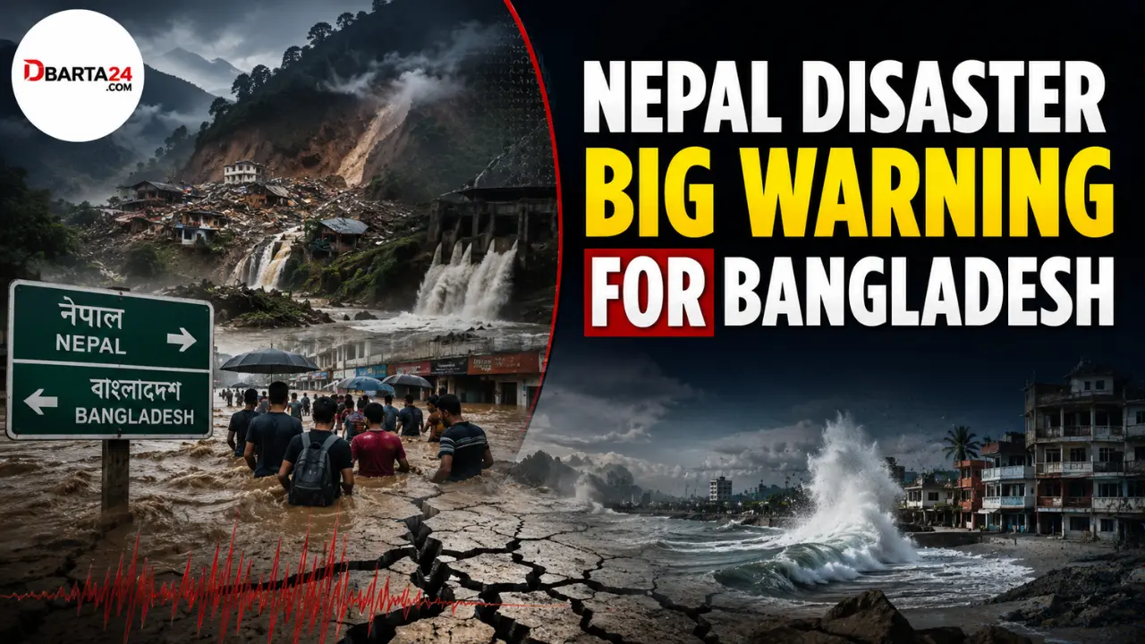
Khairul Alam; Dbarta24 – Recent disasters in Nepal have raised an important warning for Bangladesh, highlighting how extreme weather, fragile ecosystems, unplanned development and weak disaster preparedness can combine to create serious risks across South Asia.
Although Bangladesh and Nepal have different geographical and geological conditions, the two countries are connected by the region’s river systems and changing climate patterns.
Bangladesh lies downstream of the vast rivers originating in the Himalayas and is also exposed to the Bay of Bengal. As a result, events in the Himalayan region can sometimes have consequences far beyond the mountains.
Heavy rainfall in upstream areas, landslides, blocked rivers and sudden releases of water can affect downstream rivers, settlements, agriculture and livelihoods in Bangladesh.
However, Bangladesh’s disaster risks are not limited to water coming from upstream.
The country’s southeastern hill districts, particularly the Chattogram Hill Tracts, are increasingly exposed to intense rainfall, flash floods and landslides.
At the same time, experts warn about earthquake risks, ageing infrastructure and the consequences of poorly planned development.
Coastal Bangladesh faces another growing threat. Rising sea levels and land subsidence are increasing the vulnerability of low-lying communities, especially in the eastern coastal region.
Earthquake risk in the Chattogram Hill Tracts
Geologist Professor Humayun Akhter said significant seismic energy has accumulated along the region stretching from Sylhet to Teknaf, particularly around the Chattogram Hill Tracts.
According to him, the area could potentially experience an earthquake measuring between 8.2 and 9.0 on the Richter scale. Therefore, the possibility of a major earthquake in the region cannot be ignored.
One of the major concerns in such a scenario, he said, would be Kaptai Lake and the dam of the Kaptai hydropower project.
If a strong earthquake damages or breaks a vulnerable section of the dam, a huge volume of water could rapidly move downstream.
The danger could become greater during the monsoon when the lake contains a large amount of water.
Such an event could cause severe damage in Kaptai and surrounding areas.
Professor Akhter stressed the need for regular scientific assessments of the structural condition of the Kaptai Dam, which began operating in 1962.
Authorities need to determine whether cracks or weaknesses have developed, how much pressure the dam is facing and whether the structure can safely withstand that pressure.
He also warned that disasters involving mountains, water, earthquakes and dams should not be considered separately.
Himalayan disasters need regional monitoring
Mustafa Kamal Palash, a weather and climate researcher at the University of Saskatchewan in Canada, said the biggest lesson from the Nepal disaster is that natural hazards cannot always be treated as separate events.
Glacier melting, rockfalls, landslides, river blockages, sudden dam failures, flash floods and downstream flooding can become parts of a single chain of disasters, he said.
For a downstream country like Bangladesh, disaster preparedness therefore cannot remain limited to events within its own borders.
Information about what is happening in the Himalayan highlands—including rising river levels, landslides and the formation of natural dams—needs to reach Bangladeshi authorities as quickly as possible.
Palash said climate adaptation should not be limited to building embankments or storing relief supplies. Instead, South Asia needs an integrated early-warning system that connects the Himalayan highlands with downstream countries.
If major natural changes occur in the Himalayan region, relevant information should reach Bangladesh rapidly so that authorities and communities can prepare in advance.
Experts call for real-time regional warning system
Professor Sujit Kumar Dutta, a professor of international relations at the University of Chittagong and director of the Bangladesh Centre of the Hong Kong Research Centre for Asian Studies, also stressed the importance of regional cooperation.
According to him, disaster management in South Asia cannot be confined within national borders.
People living downstream must be informed quickly about developments upstream. Otherwise, early-warning systems will lose much of their value.
Events such as glacier collapses, landslides blocking rivers, or sudden avalanches of ice and rocks in the Himalayan region could develop rapidly. Information about such incidents should reach disaster management authorities in affected countries within minutes, he said.
He called for a regional real-time early-warning mechanism among South Asian countries.
No immediate flood threat from Nepal, but monitoring is essential
Professor Mushfikussaleheen of the Bangladesh University of Engineering and Technology’s Institute of Water and Flood Management said the recent flooding in Nepal does not pose an immediate threat of damage to Bangladesh.
However, he stressed that river water-level data should be monitored and maintained regularly as a precaution.
Experts also point out that Bangladesh faces serious waterlogging risks even when upstream flooding does not directly reach the country.
Mohammad Azahar Hossain, a researcher at the Bangladesh Geological Survey, said people have increased their own vulnerability by developing cities and urban areas while blocking the natural flow of rivers and canals.
As a downstream basin country, Bangladesh should plan development without damaging natural waterways and ecosystems, he said.
He also stressed that major development projects should be planned after taking advice from environmental experts, geologists and other relevant specialists.
Coastal Bangladesh faces another growing danger
Bangladesh’s vulnerability is also increasing along its coast.
A study published last August in the scientific journal Geomatics, Natural Hazards and Risk found that parts of Bangladesh’s eastern coastal region are sinking faster than the country’s central and western coastal areas.
The research found that sea levels along the Chattogram coastal plain are rising at a rate of 4.73 millimetres per year—the highest rate among the areas studied.
The rate was 3.66 millimetres per year in the Sundarbans tidal plain in the west and 2.4 millimetres per year in the central Meghna estuarine plain.
Overall, sea level along Bangladesh’s coast is rising by about 4.58 millimetres per year, compared with a global average of 3.7 millimetres.
The study also found that the tidal range is increasing, particularly along the eastern coast. This could increase the risks of flooding and riverbank erosion.
Many coastal areas of Bangladesh are only about one to 1.5 metres above sea level. Even a relatively small rise in sea level could therefore create significant risks for communities and infrastructure.
Rapid development could increase coastal vulnerability
Professor Ashraf Dewan of Australia’s Curtin University, the lead researcher of the study, said rapid urbanisation in the flatlands of Chattogram and Cox’s Bazar, along with deep piling associated with major projects such as the Matarbari power plant, could contribute to land subsidence in the region.
The intensity of tidal activity is also higher in the area, he said.
By contrast, the Sundarbans continues to provide an important natural buffer in southwestern Bangladesh.
Professor Dewan warned that the eastern coastal region is relatively flat and vulnerable. Without adequate preventive measures, infrastructure could face increasing damage, agricultural land could be submerged and the livelihoods of hundreds of thousands—or potentially millions—of people could come under pressure.
A warning Bangladesh cannot afford to ignore
The Nepal disaster offers Bangladesh a broader lesson: disasters are increasingly interconnected.
Extreme rainfall, landslides, earthquakes, river blockages, flash floods, dam failures, land subsidence and rising sea levels may occur in different places, but their consequences can cross geographical and national boundaries.
For Bangladesh, preparedness therefore requires more than responding after a disaster strikes.
Continuous monitoring, stronger infrastructure, scientific risk assessments and faster regional information sharing will be essential.
A coordinated early-warning system linking Himalayan countries with downstream nations could help Bangladesh gain valuable time before a disaster reaches vulnerable communities.
The warning from Nepal is therefore not simply about one country’s disaster. It is a reminder that Bangladesh must prepare today for the interconnected risks of tomorrow.